


- :
- : 10-02-2026
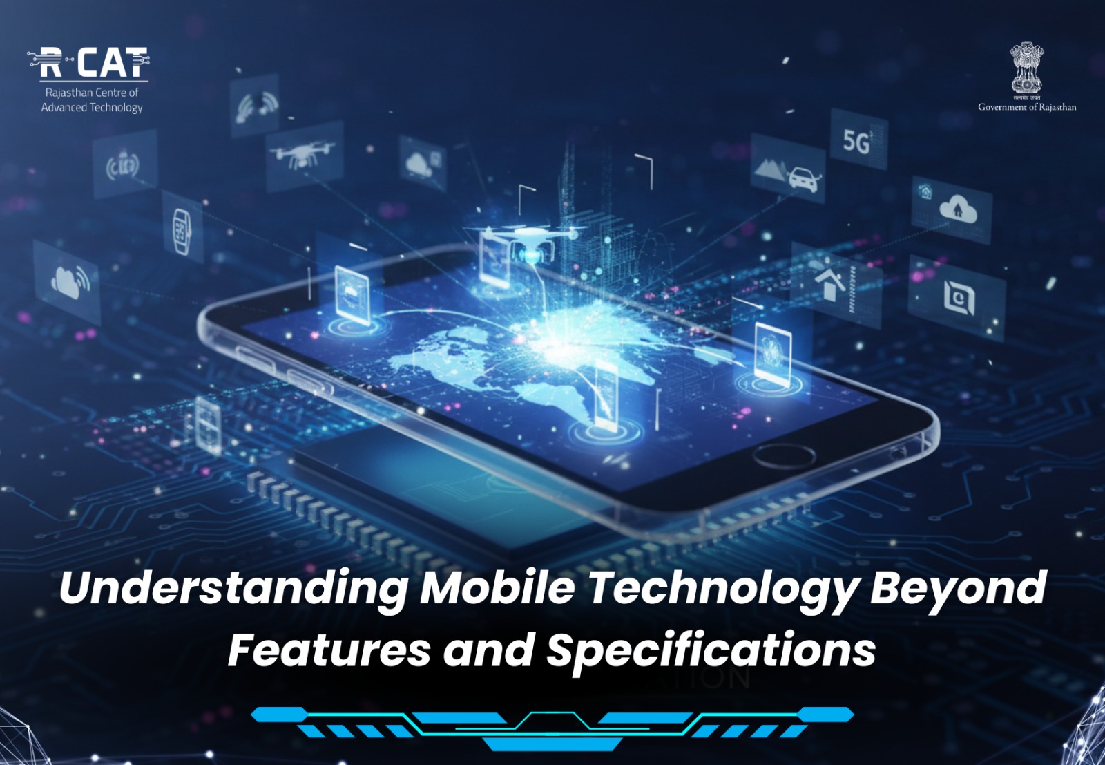
Mobile devices are now an essential part of everyday life. They support education, communication, financial access, public services, and digital learning. While mobile technology is often discussed in terms of features and specifications, understanding its broader role is equally important.
Looking beyond technical details helps users make informed decisions and use mobile technology more effectively and responsibly.
Moving Beyond Hardware Comparisons
Mobile discussions frequently focus on aspects such as:
Processor speed
Camera quality
Storage capacity
Battery life
While these specifications indicate device capability, they do not fully define how mobile technology impacts learning, productivity, and digital participation.
A deeper understanding includes how devices enable access to information, services, and opportunities.
Mobile Technology as a Learning Enabler
Mobile devices have significantly expanded access to education.
They support:
Digital classrooms and learning platforms
Educational applications and resources
Skill development programmes
Remote and self-paced learning
For many learners, mobile phones are the primary gateway to digital education. Understanding how to use them productively enhances learning outcomes.
Supporting Digital Inclusion
Beyond individual use, mobile technology plays a role in bridging access gaps.
Through mobile platforms, users can:
Access government services
Participate in digital financial systems
Receive information and updates
Connect with training and employment resources
Recognising this broader function helps users see mobile devices as tools of empowerment rather than only communication gadgets.
Responsible and Informed Usage
Understanding mobile technology also involves responsible practices, such as:
Managing screen time productively
Protecting personal information
Verifying digital content
Using secure applications
Awareness of these aspects ensures that mobile usage remains safe, balanced, and beneficial.
The Role of Digital Awareness
As mobile technology continues to evolve, digital awareness becomes essential.
Users benefit from learning:
How mobile platforms function
How applications use data
How to optimise devices for learning and productivity
Such awareness strengthens digital confidence and supports informed participation in the digital ecosystem.
Looking Ahead
Understanding mobile technology beyond features and specifications allows users to fully realise its potential.
When viewed as tools for education, access, and empowerment, mobile devices become enablers of knowledge and opportunity.
Building awareness around responsible and productive mobile use will continue to support inclusive digital growth and informed technology adoption.